The Local Story
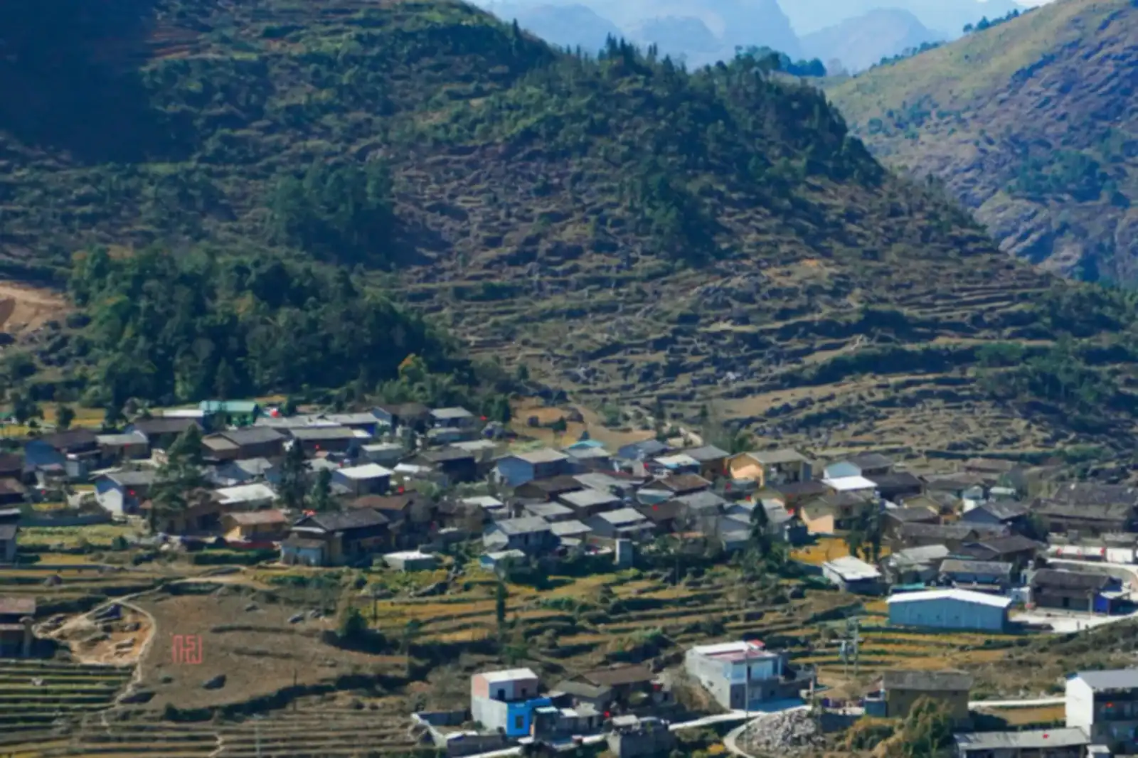
While the symbolic Lung Cu Flag Tower draws most travelers, Vietnam's true geographical northernmost point sits beside Border Marker 428 in Xeo Lung hamlet, overlooking the turquoise Nho Que River as it enters Vietnamese territory. Reaching the granite marker requires a forty-minute trek down a steep limestone footpath; wear grippy hiking shoes, carry plenty of drinking water, and bring your personal identification in case border patrol guards request verification.
In this guide
While millions of travellers recognize the famous national monument at Lung Cu Flag Tower atop Dragon Mountain, the true geographical northernmost point of Vietnam lies several kilometres further north in Xeo Lung hamlet, within the Dong Van region. Reaching Border Marker 428 is a pilgrimage for adventurous travellers seeking to stand at the absolute physical frontier of the nation.
The physical edge of the country
At coordinate 23°23′N, where the jagged limestone mountains dip dramatically into the jade ribbon of the Nho Que River, sits Border Marker 428:
- The entry point of the sacred river: Here, the Nho Que River officially enters Vietnamese territory from across the international frontier. From the cliffside trail, you can look straight down into the headwaters of the river, watching it carve between sheer karst canyon walls.
- A solemn frontier setting: Unlike the paved stairs and ticket booths of the symbolic flag tower, Marker 428 remains an unvarnished frontier outpost surrounded by sheer karst crags, mountain wind, and soaring hawks.
- The panoramic viewpoint: Standing at the cliffside observation pavilion above the border marker offers a profound geographical moment. Turning your back to the north, your left arm extends across the Northeast mountains, your right arm embraces the Northwest highlands, and your gaze sweeps southward across the entire expanse of Vietnam.
Four seasons at the northern frontier
Weather on the high border ridge is wild and unpredictable:
- Spring (January to March): Heavy morning fog often carpets the Nho Que River chasm. The narrow trail down from Xeo Lung is flanked by pink wild peach blossoms, but wet limestone shale can be very slick under spring drizzle.
- Summer (April to June): Brilliant sunshine illuminates the emerald river below with extraordinary clarity. The climb back up under midday sun is physically demanding, so begin your trek before 7:30 AM and carry electrolyte water.
- Autumn (July to September): The most comfortable trekking season. Crisp highland breezes, dry stone paths, and mild sunshine make the walk along the cliff ridge invigorating and safe.
- Winter (October to December): Northerly gales whistle furiously through the border notch. Temperatures drop near freezing, and you need a windproof shell and warm fleece for the exposed descent.
Essential trekking and border guidelines
Reaching Marker 428 requires physical fitness and strict legal awareness:
- Footwear and hydration: The trail descends 200 vertical metres over rough limestone scree and steep concrete steps. Wear hiking boots with aggressive rubber lugs and carry at least 1.5 litres of water per person.
- Carry identification: This is an active international border zone. Always carry your national identity card or passport in case border patrols verify traveler documentation.
- Border sanctity: Never step across marked boundary ditches or attempt to walk along prohibited riverbanks. Treat the granite marker with dignity, avoid carving graffiti, and carry every piece of rubbish back up to Xeo Lung in accordance with our visitor pledge.
Practical Observations
- Wear grippy hiking shoes; the narrow rocky trail can be slippery when damp with morning mountain fog.
- Carry at least one litre of water and light snacks, as there are no vendor stalls once you leave Xeo Lung hamlet.
- Late morning to early afternoon offers the clearest visibility before shadows fall across the Nho Que River canyon.
Related story
The Dong Van Karst Plateau: what a UNESCO Global Geopark means for your trip
Most of the Ha Giang Loop runs through a UNESCO Global Geopark of 2,356 km². What that title means, what you will see, and how to travel it well.
Good to know before you go
Is Marker 428 different from Lung Cu Flag Tower?
Yes. Lung Cu Flag Tower is a national cultural monument atop Dragon Mountain, whereas Border Marker 428 in Xeo Lung is the true geographic northernmost coordinate of Vietnam on the frontier with China.
How long does the trek to Marker 428 take?
From the motorbike drop-off point at Xeo Lung village, the walk down takes about 35 to 45 minutes, with the return climb taking roughly 45 to 60 minutes depending on fitness.