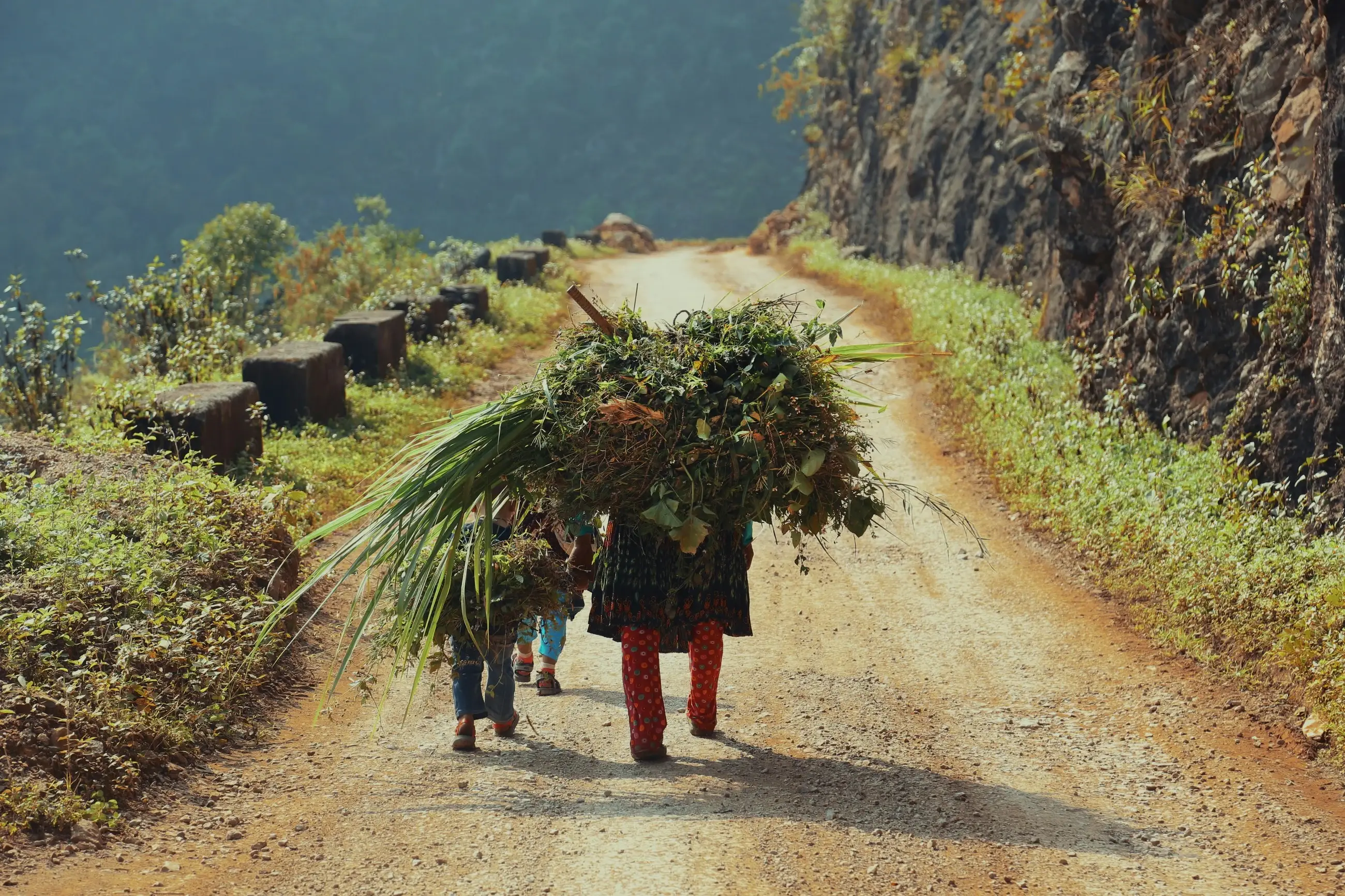
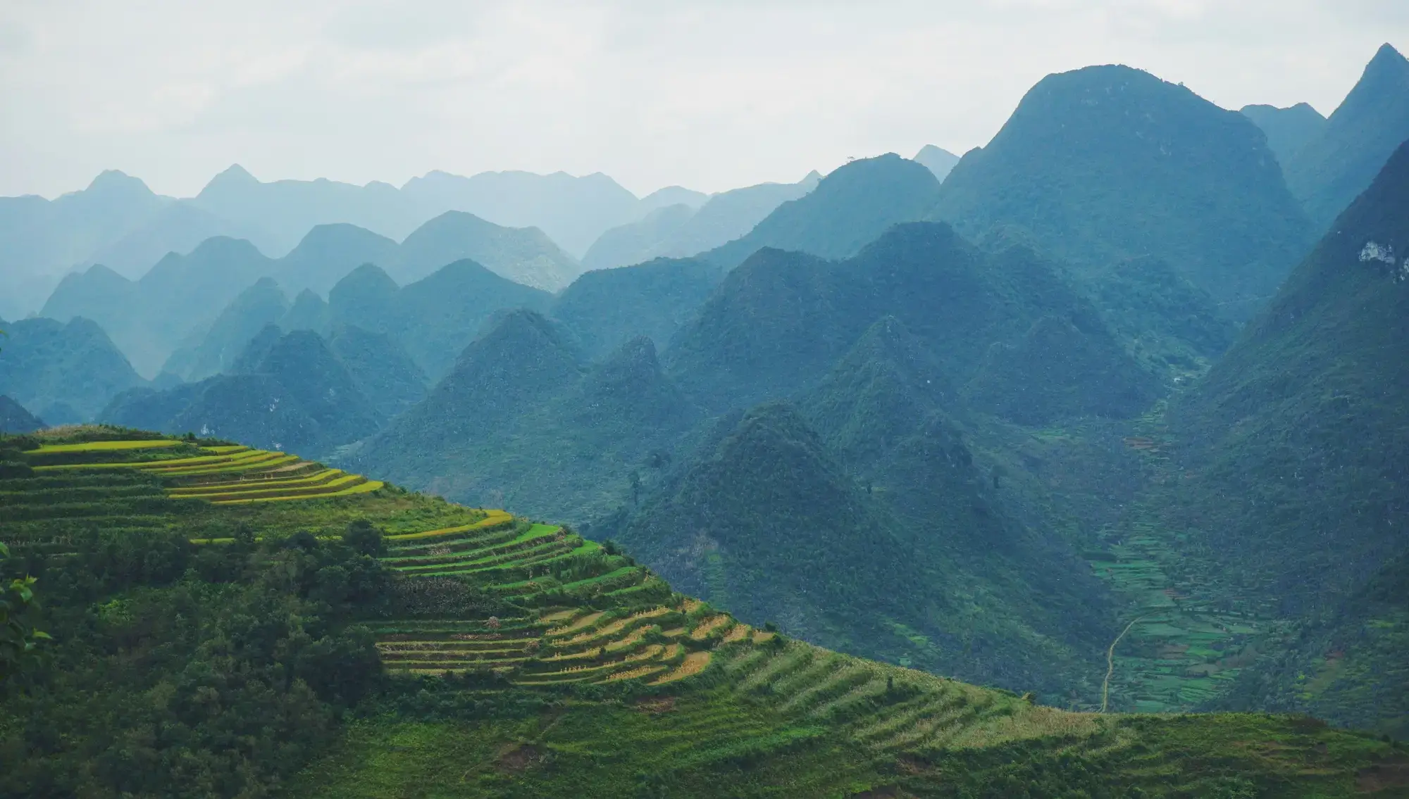
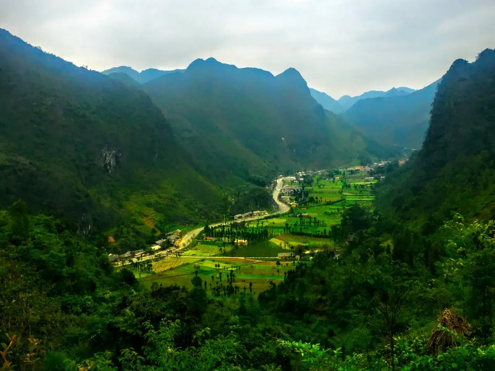
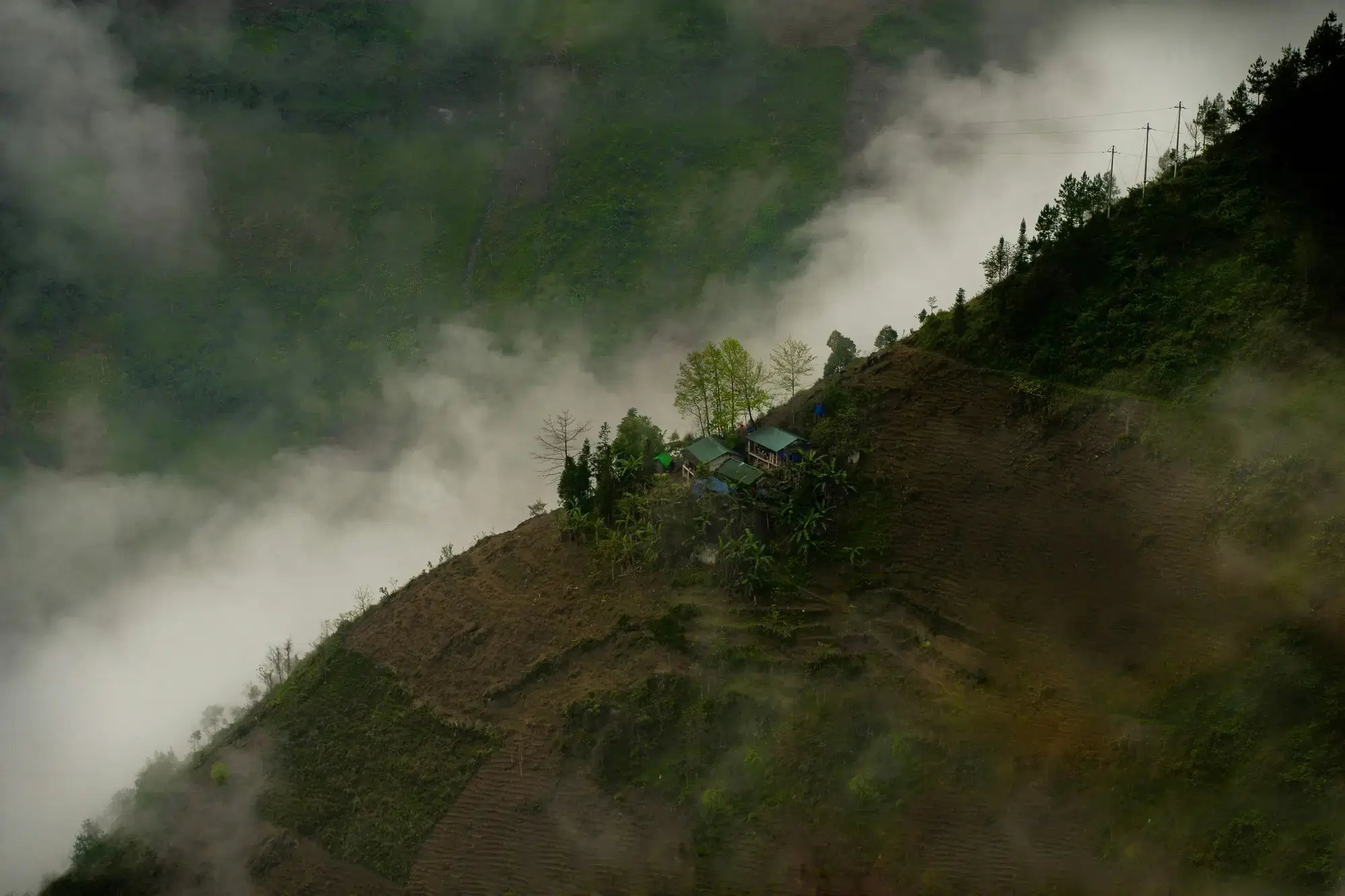
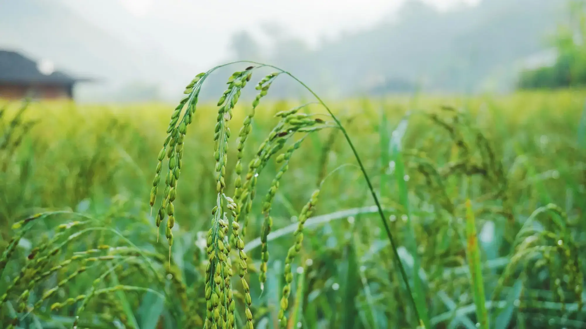
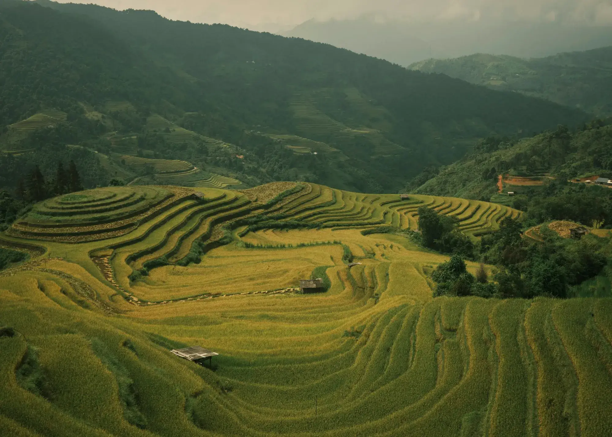
We group the places visitors explore most into six travel areas: five stops along the classic northern Loop up onto the karst plateau, plus Hoang Su Phi and the west off the Loop for travellers who want to slow down.
N
0 / 304 km—
Tap any dot for a quick look
Hold Ctrl and scroll to zoom
The Loop in six legs≈ 304 km · 110–1,480 m
Heights: terrain estimates (Copernicus DEM) · Hover or click any leg for driving time & key passes.
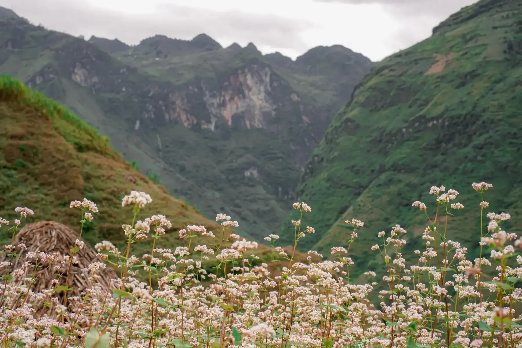
Best in November & December
November: Buckwheat in full bloom (Dry and cool, cold nights.) · December: Last buckwheat in some years
Weekly highland markets across the Ha Giang Loop — which day each one runs, what is sold, how to get there, and how to visit without getting in the way.
The cultural heart of the UNESCO Global Geopark — where grey stone turns to living heritage, ancient earthen homes shelter traditions, and the sacred northern frontier stands proud.
✦45 km from Yen Minh · Karst heartland & Far North
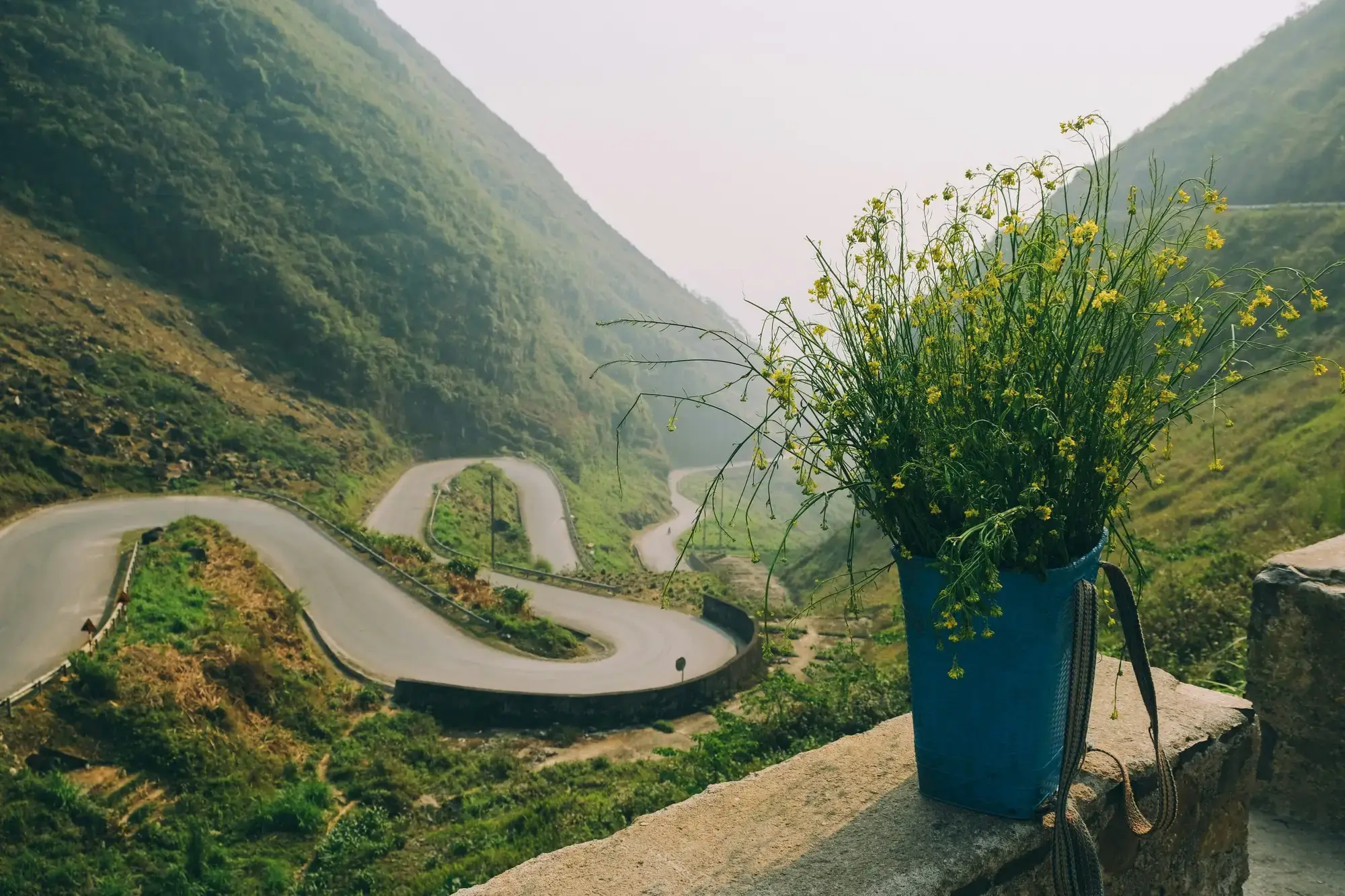
Nine tight hairpin turns carved into steep limestone connecting Pho Cao to the Sung La valley on Highway 4C, forming one of Dong Van's most demanding climbs.
Best time: Morning between 7:30 and 9:30 AM for clear photos. Avoid descending in thick winter fog or heavy monsoon rain.
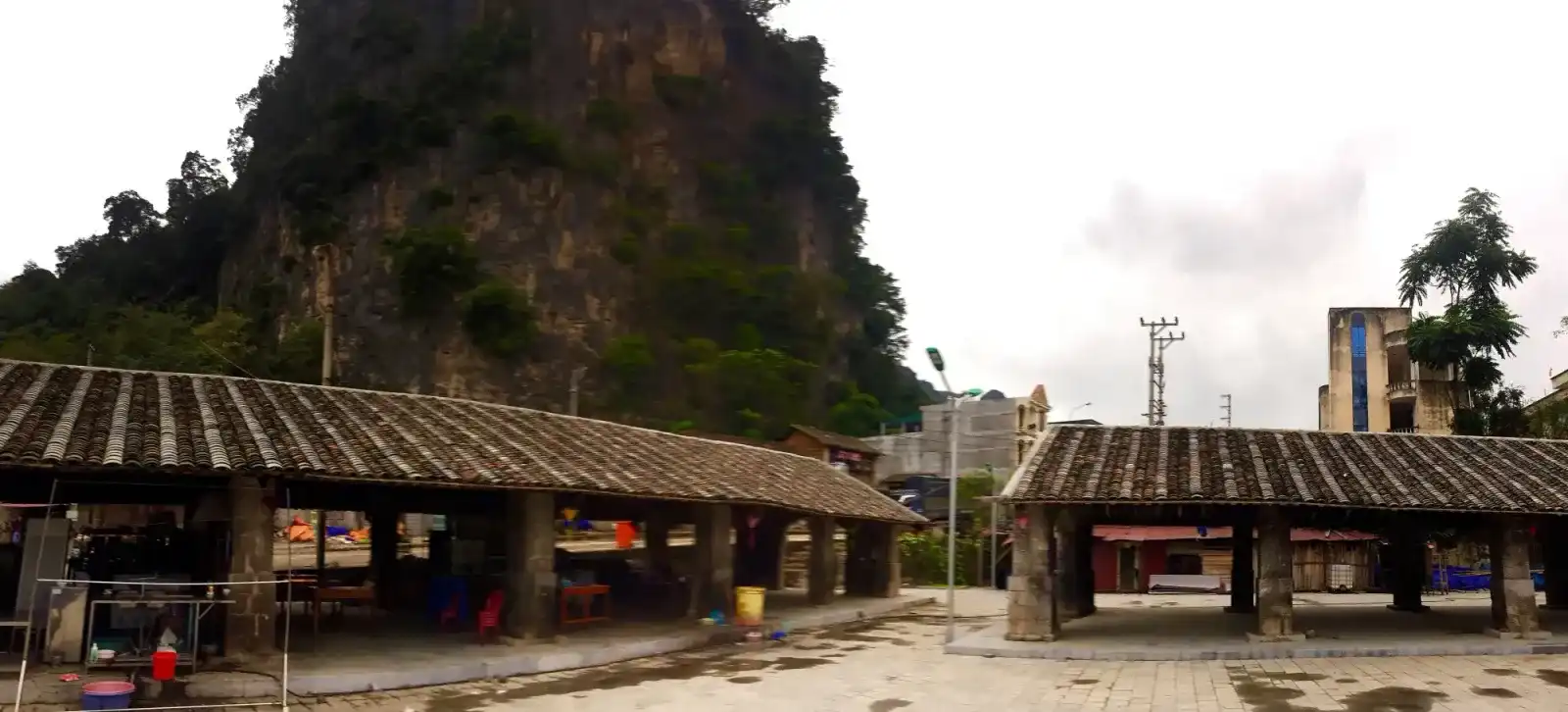
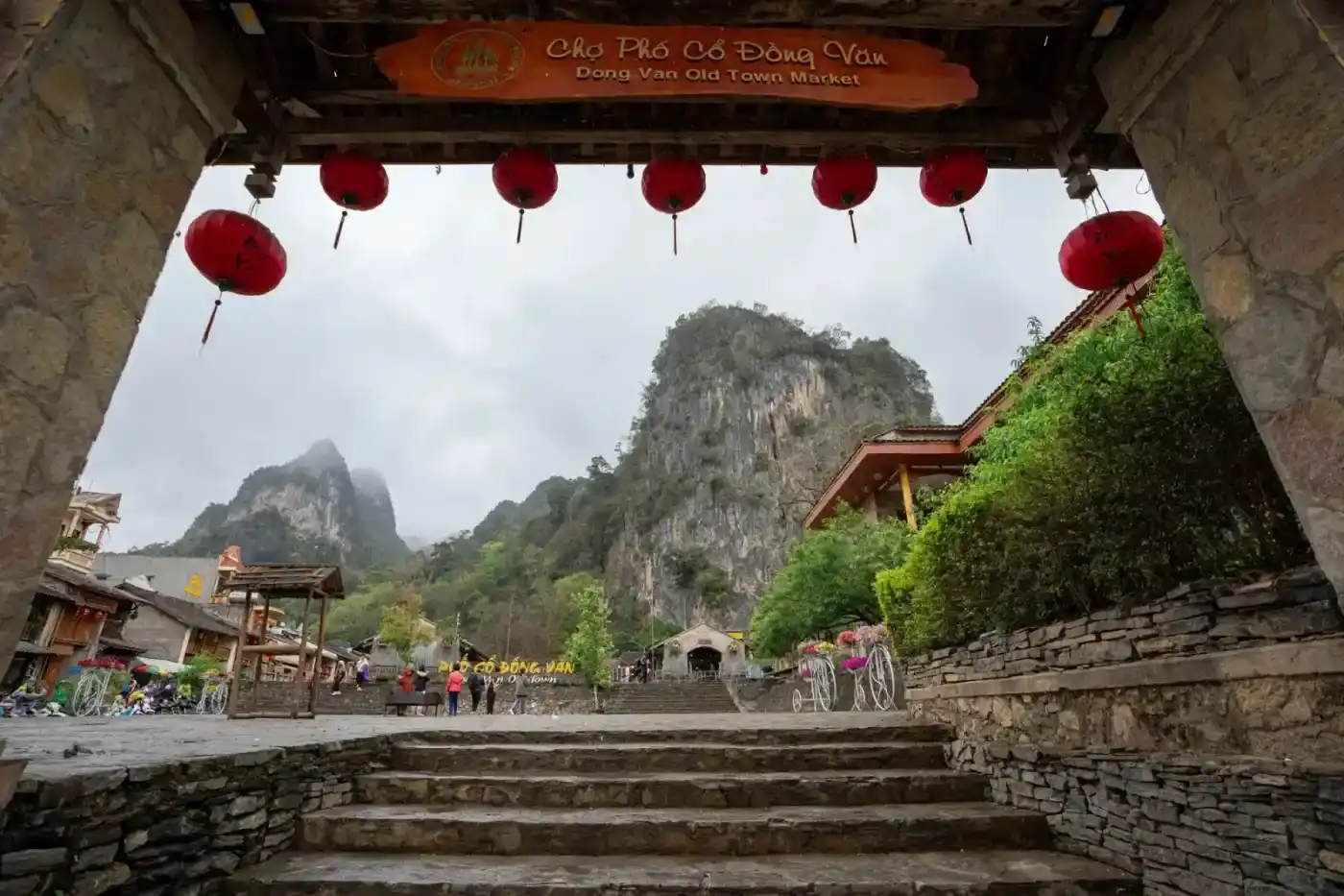
A historic trading settlement of century-old rammed-earth and timber courtyard homes beneath towering limestone peaks, serving as the northern hub of the Loop.
123456789101112
Best time: Late evening after 9:30 PM for quiet lantern-lit stone lanes; early morning at 6:00 AM for fresh mountain mist and traditional breakfast.
The historic Sunday morning market in Dong Van old town, where highland ethnic communities gather to trade livestock, handwoven textiles, and steaming bowls of pho.
Good to know: Takes place every Sunday morning, peaking between 6:30 AM and 9:30 AM. Free admission.
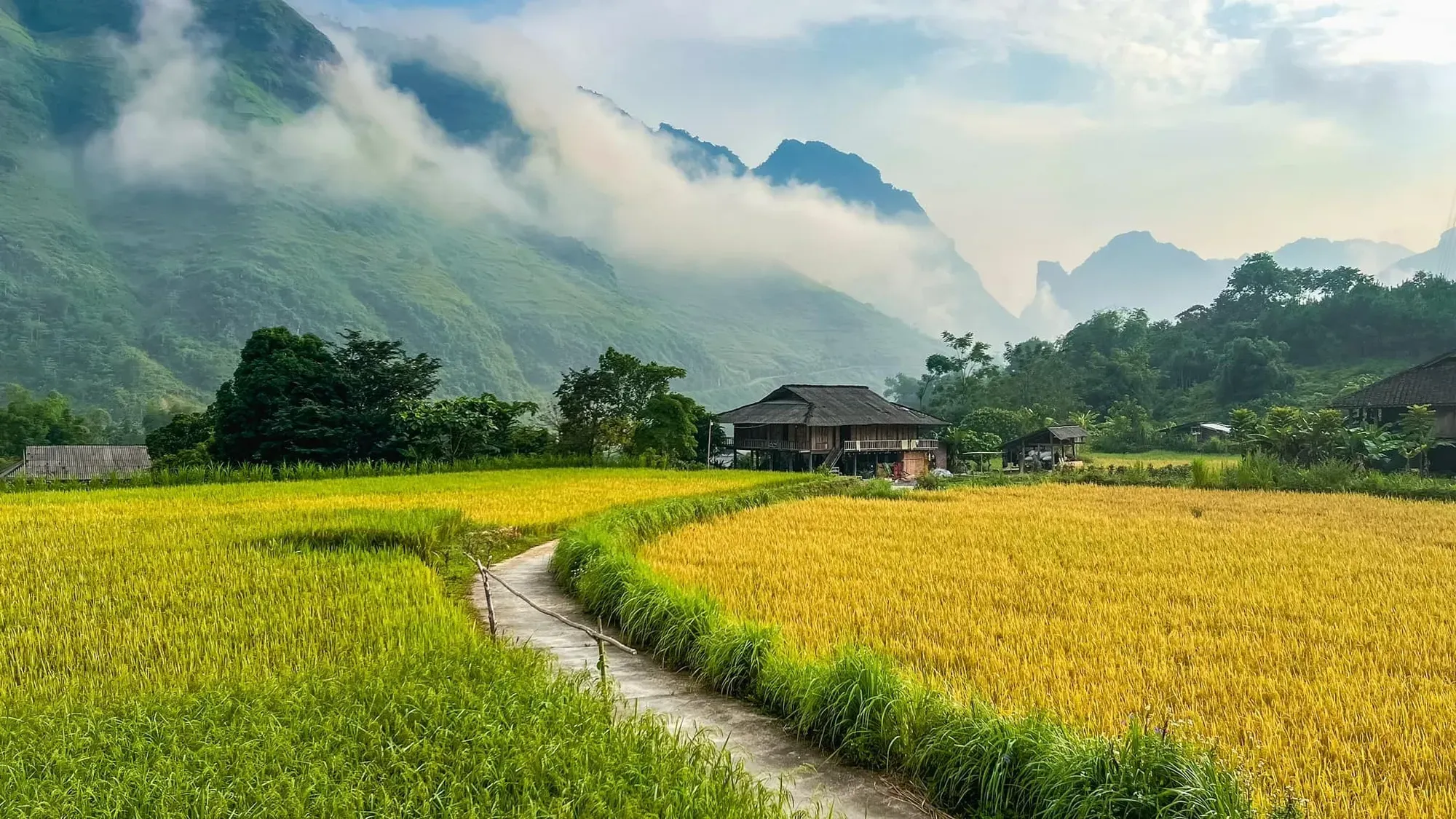
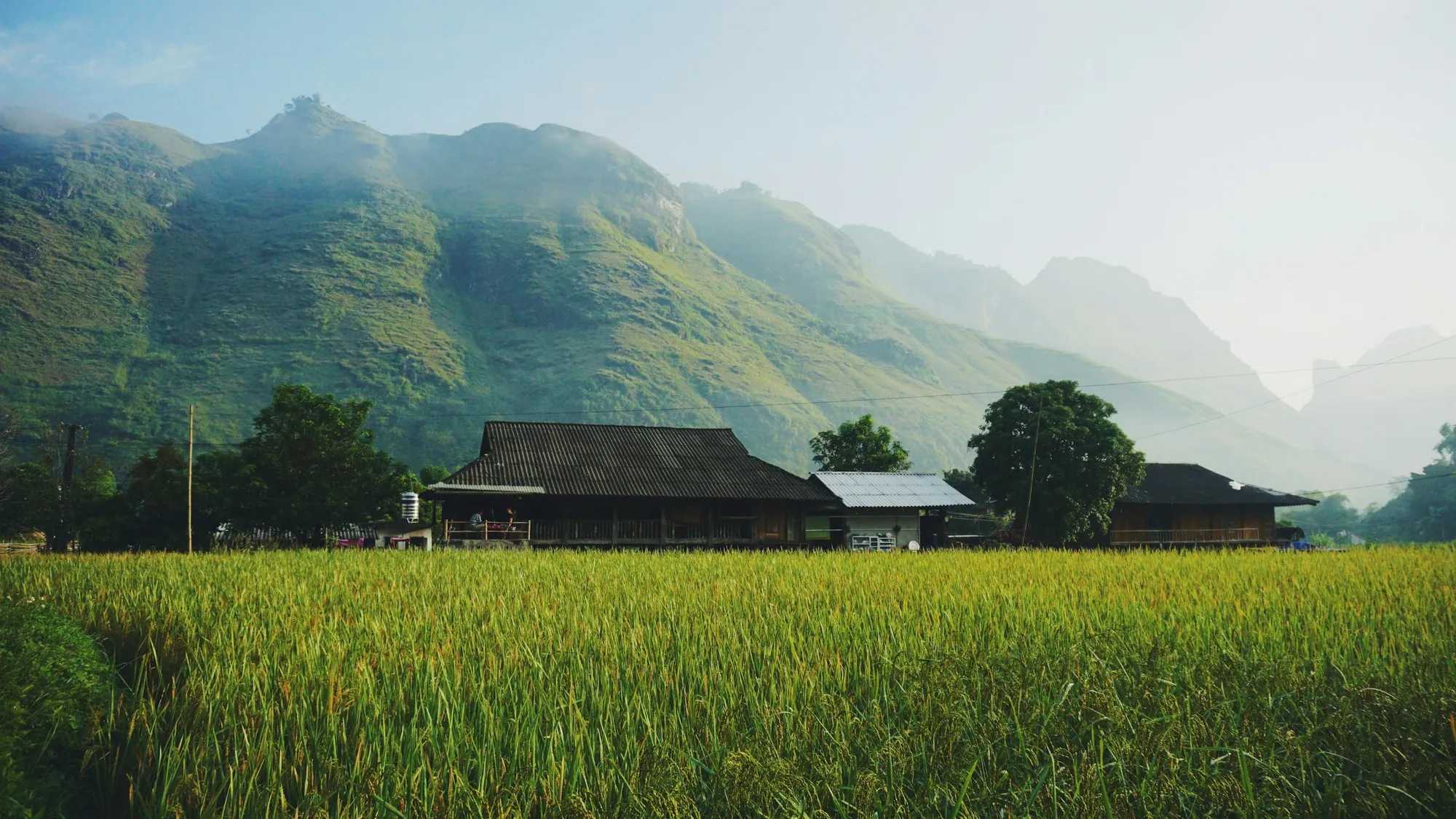
A green valley south of the main Loop road with rice fields, streams and a quieter pace, making it a favourite overnight stop for slower itineraries and families.
123456789101112
Best time: September–October for golden rice terraces, and year-round for the valley experience.
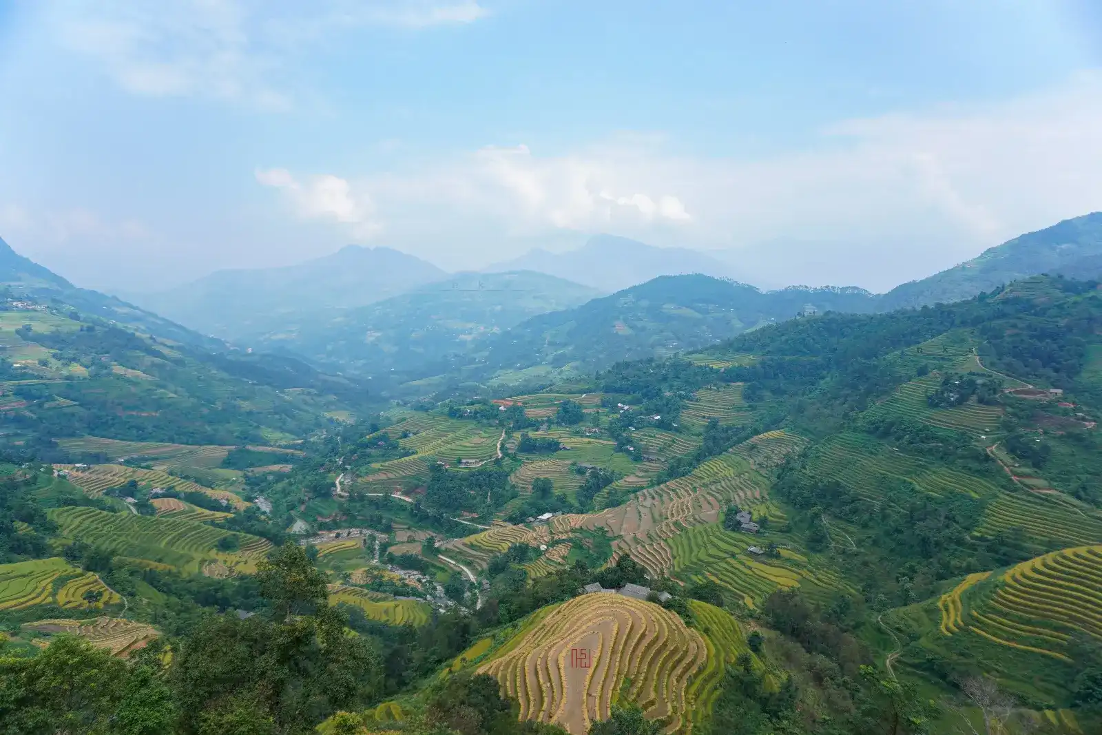
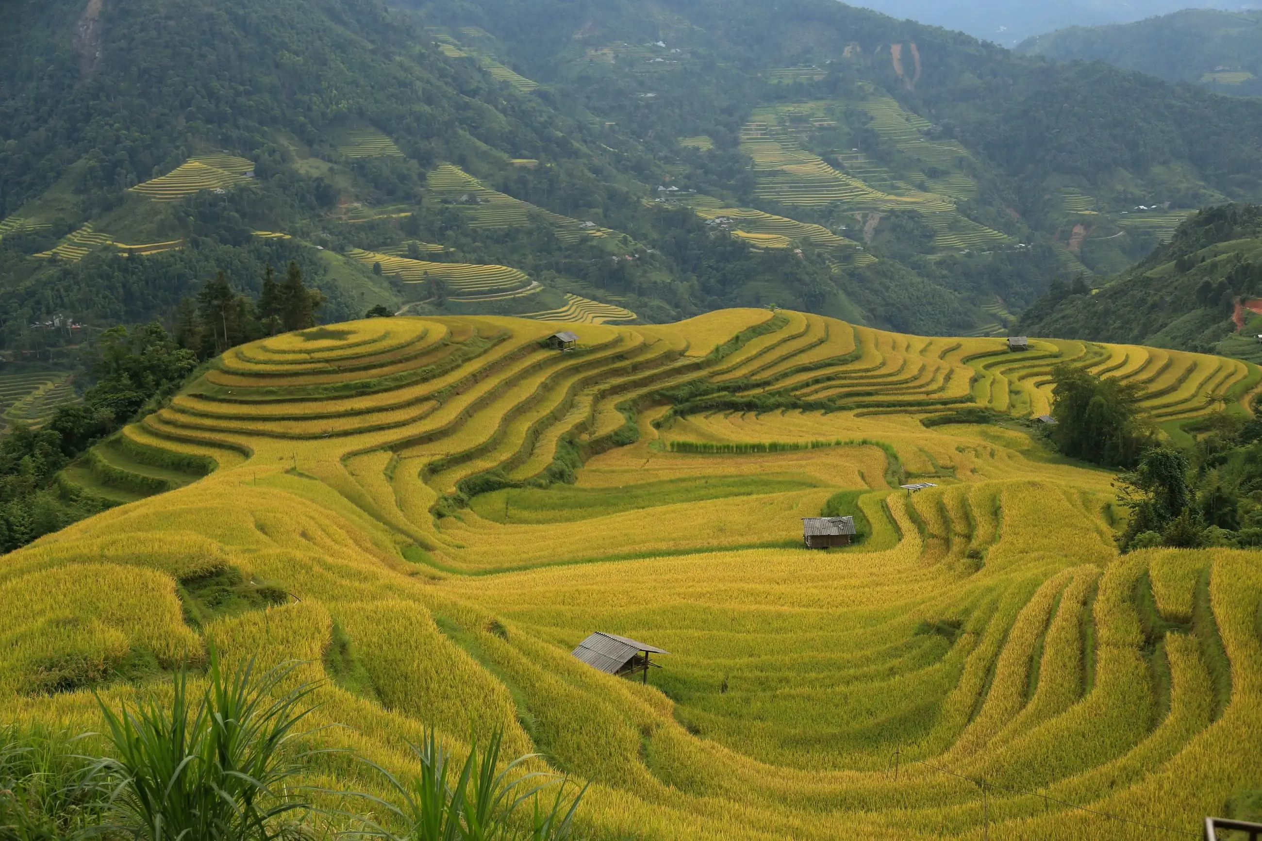
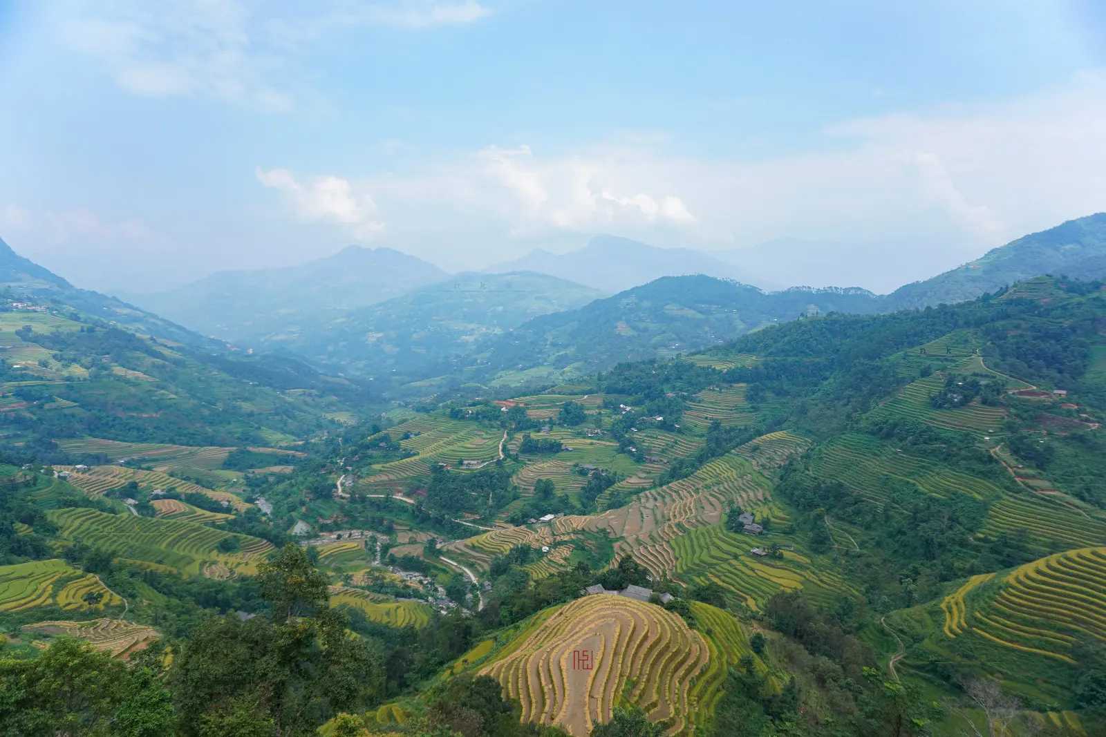
Stunning terraced hillsides cascading across western Ha Giang, shimmering like mirrors during water-pouring season and glowing golden before autumn harvest.
123456789101112
Best time: Water season around May–June for flooded mirror terraces, and late September to early October for golden rice (timing varies by altitude and year). July–August for the deepest green.
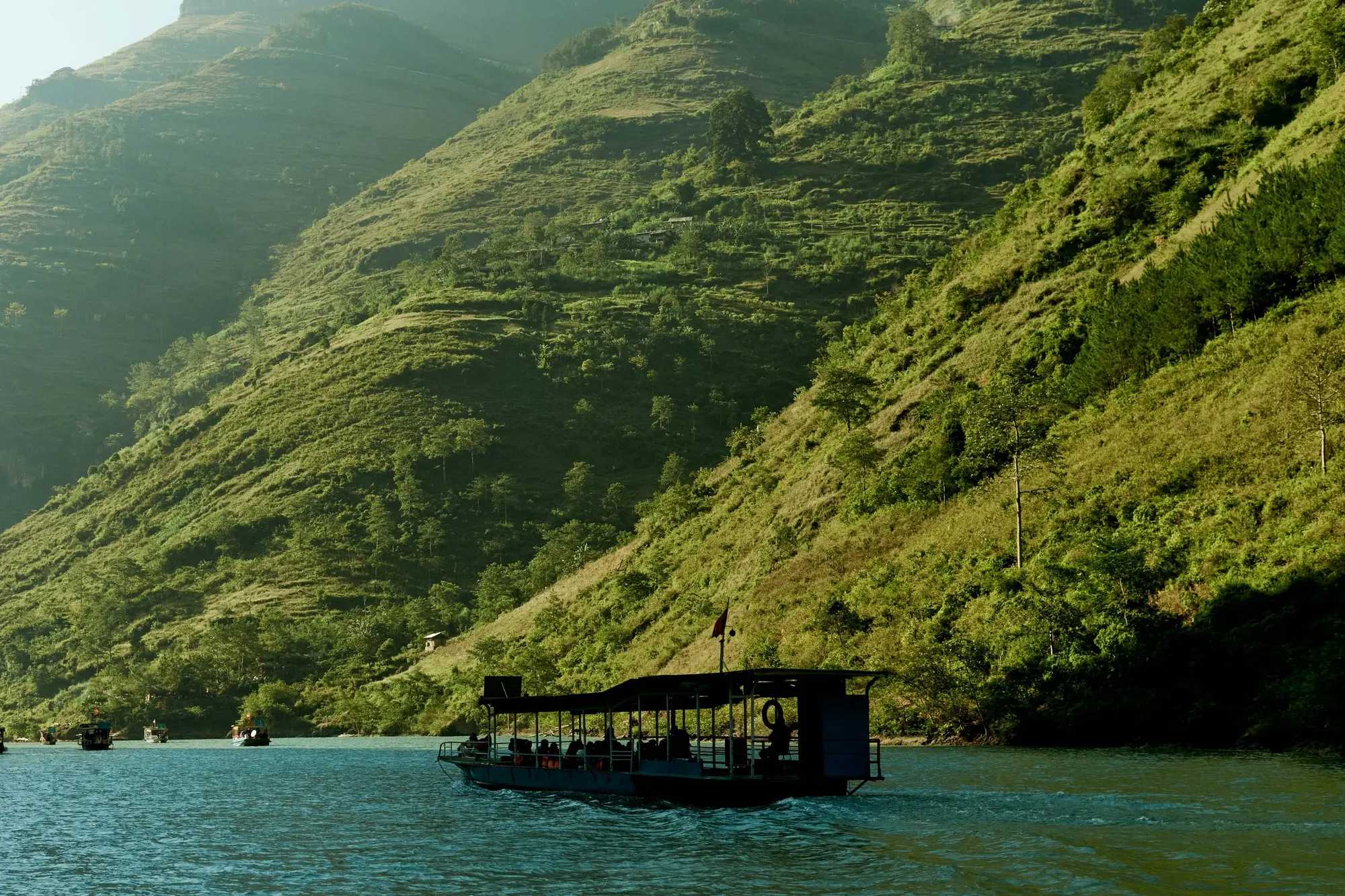
A serene, lesser-known canyon on the lower Nho Que River reservoir in Khau Vai, celebrated for emerald waters, dramatic rock walls, and tranquil kayak exploration.
Good to know: Free area access. Local boat rides and kayak rentals range from 100,000 to 150,000 VND per person.
A quiet traditional Hmong settlement tucked behind Sung La valley, where artisans of the Mua clan hand-forge ornate silver jewellery beside stone-walled courtyards.
Good to know: Free to visit. Modest prices for direct handmade silver purchases.
A living Black Lo Lo border village of rammed-earth homes beneath Lung Cu flag tower, named a UN Tourism Best Tourism Village in 2025.
123456789101112
Good to know: Walking through public village lanes is completely free. Homestay accommodation, traditional family meals, and folk cultural evenings are paid directly to local Lo Lo hosts.
Vietnam's northernmost national monument perched atop Dragon Mountain at 1,470 metres, commanding panoramic views of border karst ridges and ancestral valleys.
123456789101112
Good to know: Admission: 40,000 VND per adult; children under 1.2 m enter free. Electric cart: 30,000 VND round trip. Open daily from 7:00 AM to 5:30 PM.
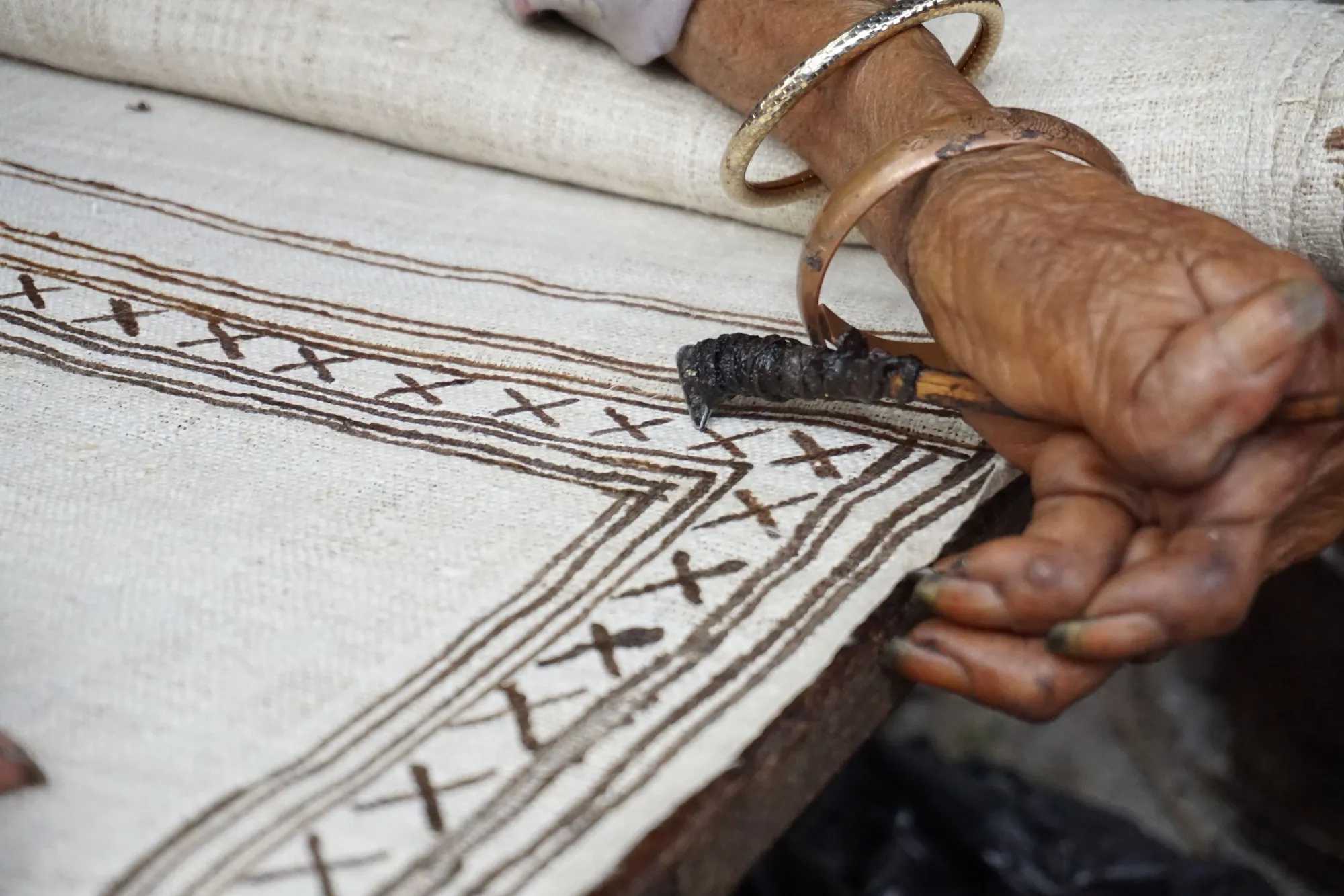
A Hmong women's cooperative in Quan Ba where you watch the full hemp-to-linen process — from pulling fibre to indigo dyeing — and buy directly from weavers.
Good to know: You can walk in and watch the weaving for free. Support the local craftswomen by picking up handmade linen items at the workshop.
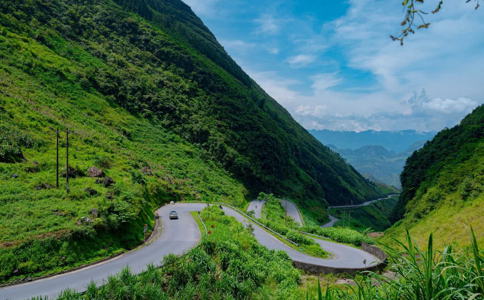
An iconic engineering marvel along the mountain highway connecting Yen Minh and Meo Vac, where the road carves a flawless M-shape across limestone ridges.
Good to know: Free public roadside viewpoint accessible all day.
An exhilarating cliffside single-track trail etched into the White Rock Cliff above Tu San canyon, offering unobstructed aerial panoramas of the Nho Que River.
Good to know: Hiking the walking trail is free. Optional local motorcycle taxi shuttle on the lower concrete road costs 50,000 to 100,000 VND per ride. Parking is 5,000 to 10,000 VND.
A small Dao community tourism village below Quan Ba Heaven Gate, known for herbal baths, quiet homestays and a preserved way of life.
Good to know: Walking through the village is free. If you want to take a traditional Dao herbal bath, your homestay host will gladly prepare a hot wooden tub for roughly 80,000 to 100,000 VND.
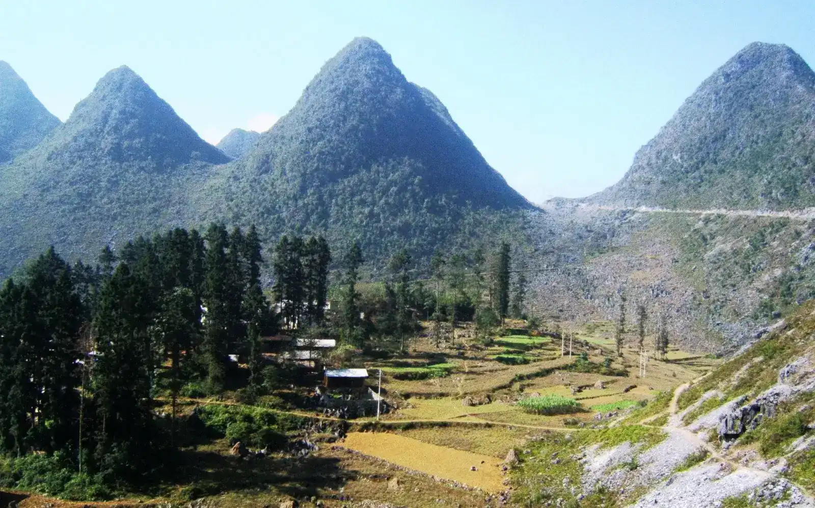
Two resilient trees standing solitary amid a surreal sea of jagged grey limestone in Pai Lung, epitomising the raw, unadorned spirit of the karst plateau.
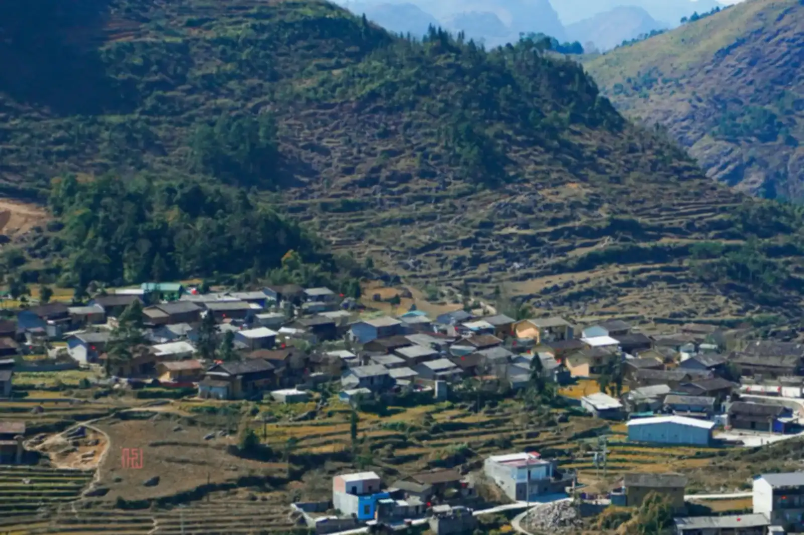
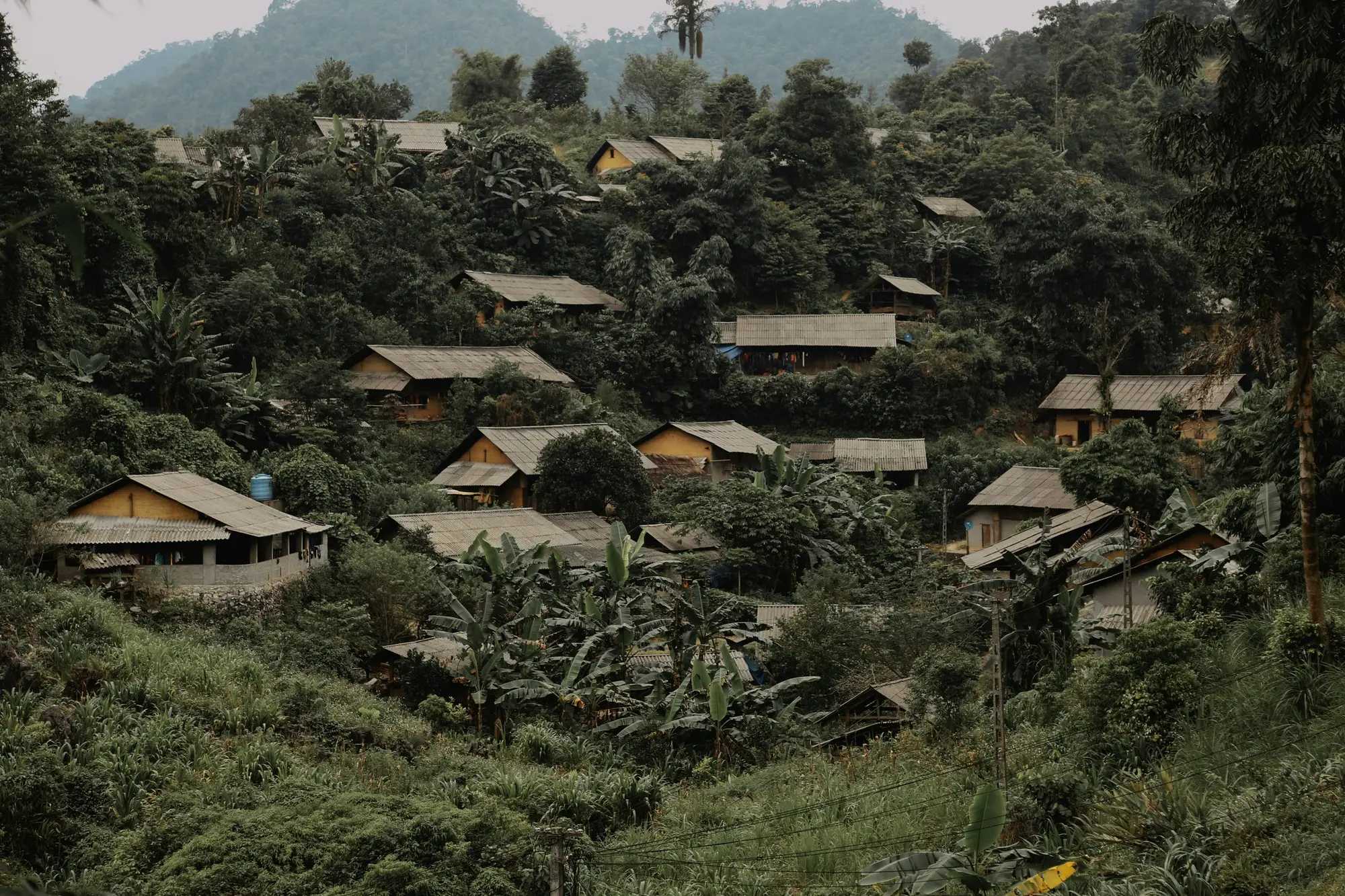
A serene border town tucked in a limestone valley just off the main road, characterized by century-old clay homes and a peaceful rotating six-day market.
123456789101112
Good to know: The rotating market meets every six days on Rat and Horse days in the twelve-animal zodiac cycle, operating only in the morning until around noon.
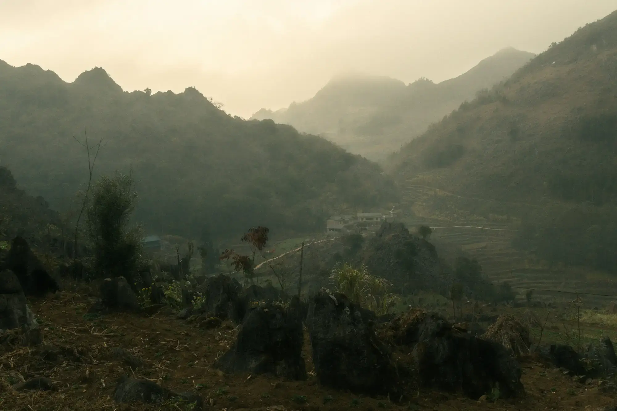
A remote Hmong settlement secluded within ancient bamboo groves and jagged limestone cliffs in Van Chai, famed for peaceful silence and stone-walled earthen houses.
Good to know: Free to visit. Please leave before twilight to allow families their quiet evening routines.
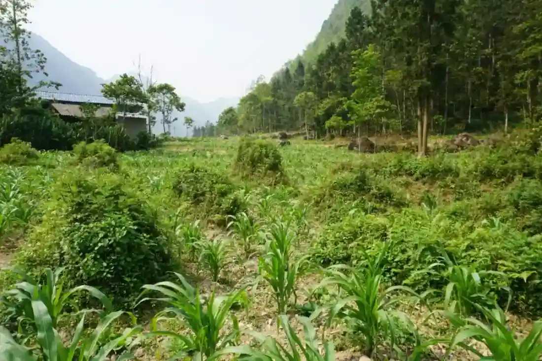
A wide agricultural basin below Chin Khoanh pass, famed for traditional Hmong earthen homesteads, seasonal flower plots, and the film set of Pao's Story.
123456789101112
Good to know: Pao's house admission: 10,000 VND per visitor. Managed roadside flower plots charge 10,000 to 20,000 VND per person. Open daily during daylight hours.
A quiet Hmong hamlet just over one kilometre from Lo Lo Chai, offering panoramic valley vistas, traditional stone-fenced homes, and unhurried agricultural life.
Good to know: Free public access. Please leave before nightfall to respect local family routines.
A dizzying descent of more than 40 sharp switchbacks plunging from Pai Lung down to the jade waters of the Nho Que River, bathed in golden afternoon sunlight.
Good to know: Free road access. Boat rides along the canyon require separate fees at the terminal.
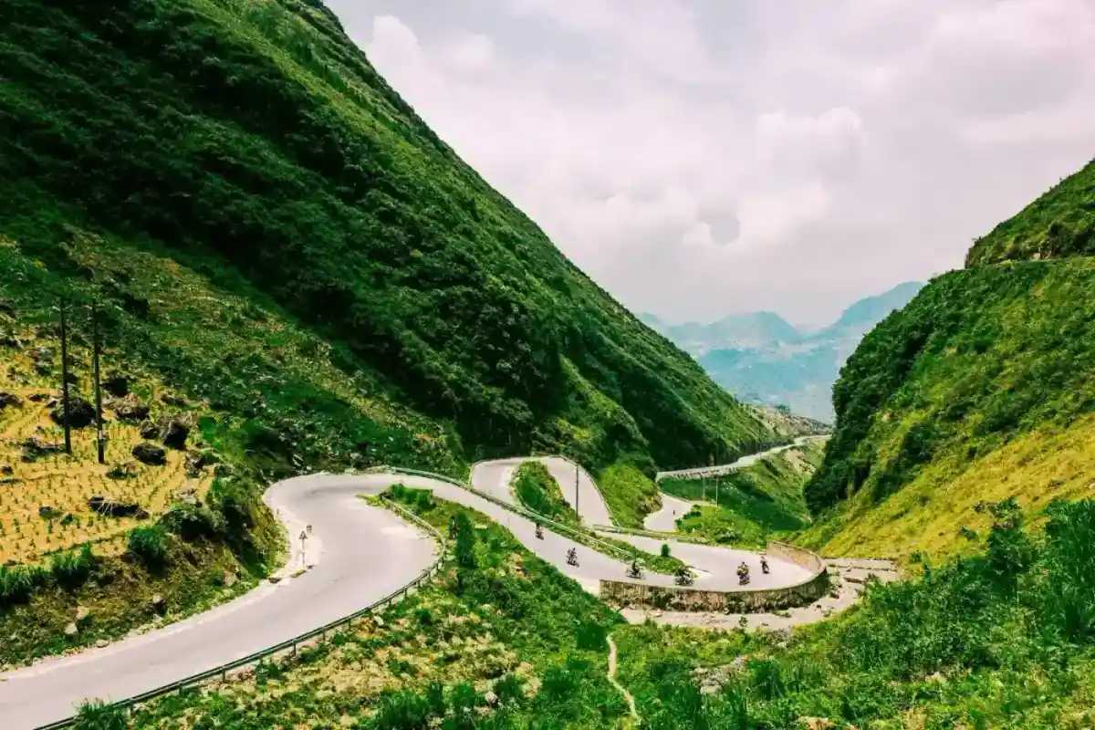
The iconic mountain pass climbing out of Yen Minh into Dong Van karst plateau, famous for sweeping U-curves, horse-testing lore, and dramatic canyon views.
123456789101112
Best time: Morning between 8:30 AM and 10:30 AM when valley fog lifts and sunlight illuminates the pass without casting heavy cliff shadows.
An intimate hamlet of just over ten Hmong families resting beside the Dragon Eye lake in Lung Cu, celebrated for hand-stacked stone walls, earthen architecture, and warm community hospitality.
Good to know: Free to visit. Modest homestay and meal fees when staying with local host families.
Vietnam's geographical northernmost extremity above the Nho Que River in Xeo Lung, distinct from Lung Cu Flag Tower and reached via a scenic cliffside footpath.
Good to know: Free to visit. Please bring personal ID (passport or citizen card) for border verification if requested by frontier patrols.
An extraordinary fortress-mansion built by Hmong chieftain Vuong Chinh Duc in Sa Phin valley, blending Chinese Qing-era courtyards with French military bastions.
123456789101112
Good to know: Admission: 30,000 VND per adult; children under 1.2 m free. Open daily from 7:00 AM to 5:00 PM.
The bustling town market of Yen Minh at the midway point of the Loop, offering an authentic morning market atmosphere and affordable local noodle lunches.
Good to know: Open daily, with Sunday as the main market day, busiest in the morning.