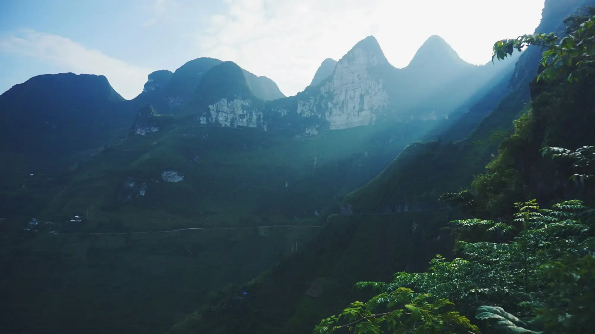
If you have researched the Ha Giang Loop by reading forum posts or watching travel vlogs recorded five to ten years ago, you might be imagining a treacherous dirt track littered with boulders, ankle-deep red mud, and sheer cliff edges without a single guardrail.
In 2026, the reality on the ground has evolved significantly. Over the past five years, substantial public infrastructure investment has transformed the central artery of northern Vietnam. Mountain bypasses have been carved through solid limestone, narrow gorges have been widened to two full lanes, and smooth asphalt now blankets the majority of the classic four-day loop.
However, Ha Giang remains an extreme high-mountain environment. The Dong Van Karst Plateau Geopark features razor-sharp limestone topography, vertical drops exceeding eight hundred metres, and severe seasonal weather that causes landslides and road degradation.
Because we drive, ride, and monitor these mountain passes daily, we have compiled this comprehensive 2026 road conditions briefing. Here is the exact, unvarnished truth about where the tarmac is smooth, where construction is active, and how to navigate the loop with total confidence.
1. National Highway 4C: Ha Giang City to Quan Ba and Yen Minh
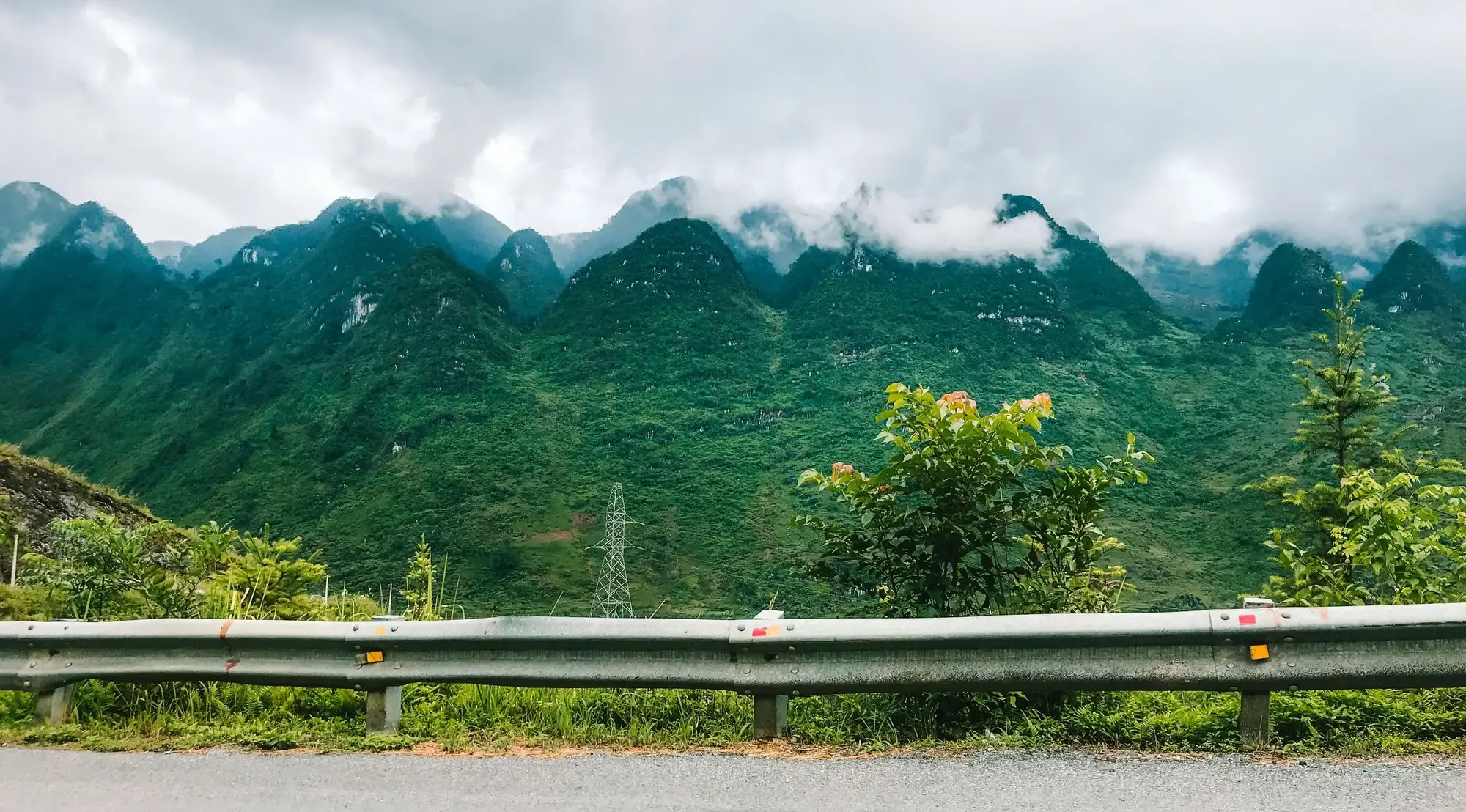
This is the gateway leg where every traveller begins the ascent from the low river valley into the high stone plateau.
Ha Giang City to Quan Ba Heaven Gate (approx. 45 km)
- Asphalt condition: Excellent. This section has been comprehensively resurfaced. The climb up the Bac Sum pass features wide asphalt, reinforced concrete crash barriers, and clear road markings.
- Hazards and tips: Bac Sum pass climbs rapidly via a series of steep, stacked hairpins. In late autumn and winter, dense morning fog frequently envelops the summit near the Quan Ba heaven gate. Heavy gravel supply trucks and interprovincial buses travel this corridor between 7:00 AM and 9:00 AM. Maintain your lane around blind bends, never cross the double yellow line on curves, and sound your horn lightly before blind turns.
Quan Ba to Yen Minh Town (approx. 50 km)
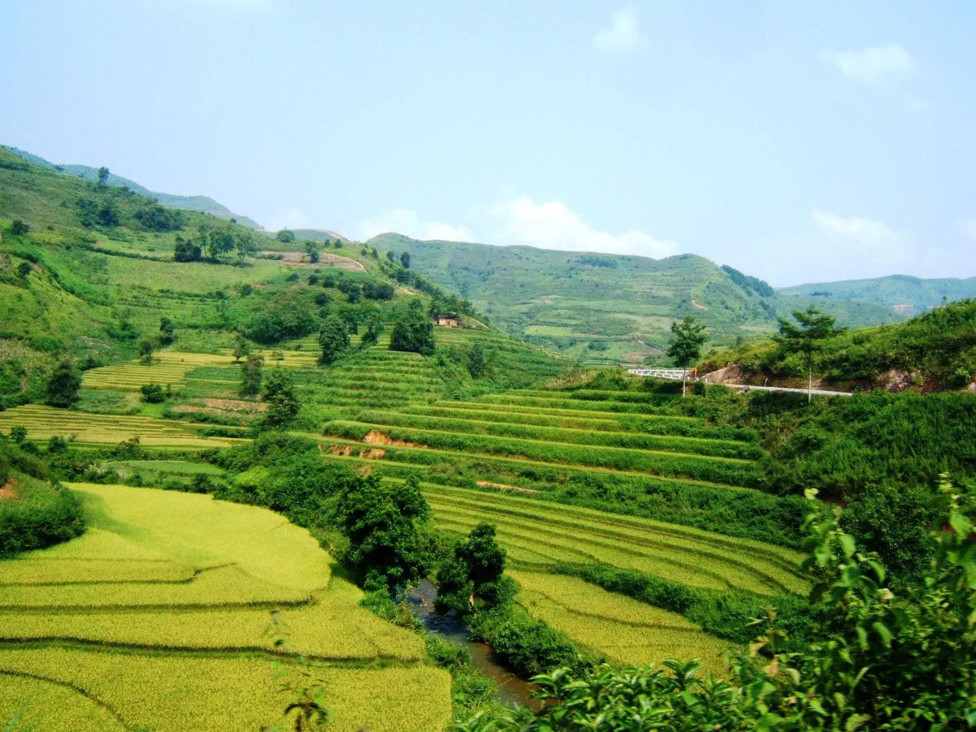
- Asphalt condition: Riders now have two route options. The traditional route runs through the Yen Minh pine forest, while the newly engineered Can Ty bypass runs alongside the Mien River. Both routes feature smooth asphalt surfaces.
- Hazards and tips: The scenic forest route is winding and narrow with intermittent pine needle debris that can become slick in rain. The river bypass route is faster and straighter, but steep rock-cuttings along the canyon can shed minor loose gravel after summer thunderstorms. Keep your speed below 40 km/h and scan the asphalt for loose stones.
2. The Karst Heartland: Yen Minh to Dong Van and Lung Cu
This is the visual climax of the geopark, featuring world-famous mountain viewpoints and the heaviest concentration of weekend motorcycle convoys.
Tham Ma Slope and Chin Khoanh Pass
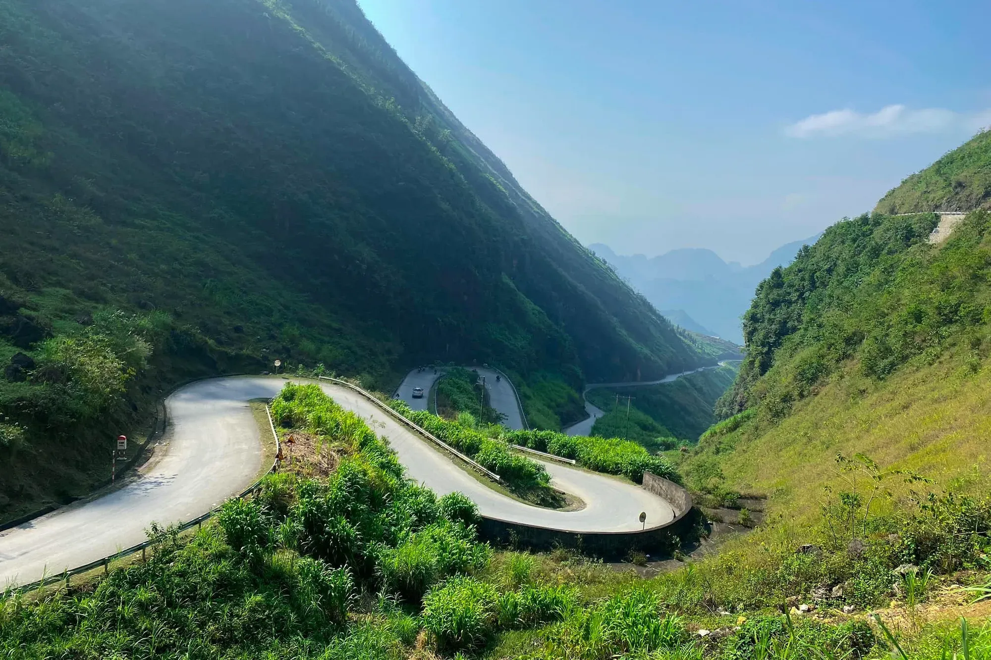
- Asphalt condition: Pristine. The legendary nine-turn switchbacks of Tham Ma slope and the sweeping curves of Chin Khoanh pass have been paved with smooth asphalt and lined with heavy steel guardrails.
- Hazards and tips: Tham Ma is one of the most photographed viewpoints in Southeast Asia. Young riders frequently pull over abruptly on narrow shoulders to take photos. Do not park on the apex of sharp hairpins. If you wish to admire the view, pull off completely into the designated paved viewing bays located near the summit.
Sa Phin Junction North to Lung Cu Flag Tower (approx. 40 km)
- Asphalt condition: The road heading north toward the Lung Cu flag tower and the northern border loop through Ma Le village is in great condition. Paved asphalt easily accommodates passenger vans and private cars.
- Hazards and tips: These roads wind directly through traditional Hmong and Lo Lo farming villages. Children walking to school, wandering water buffalo, and free-range livestock frequently step onto the roadway without warning. Reduce your speed to 30 km/h when approaching village clusters.
3. The Great Pass: Dong Van to Meo Vac via Ma Pi Leng (approx. 22 km)
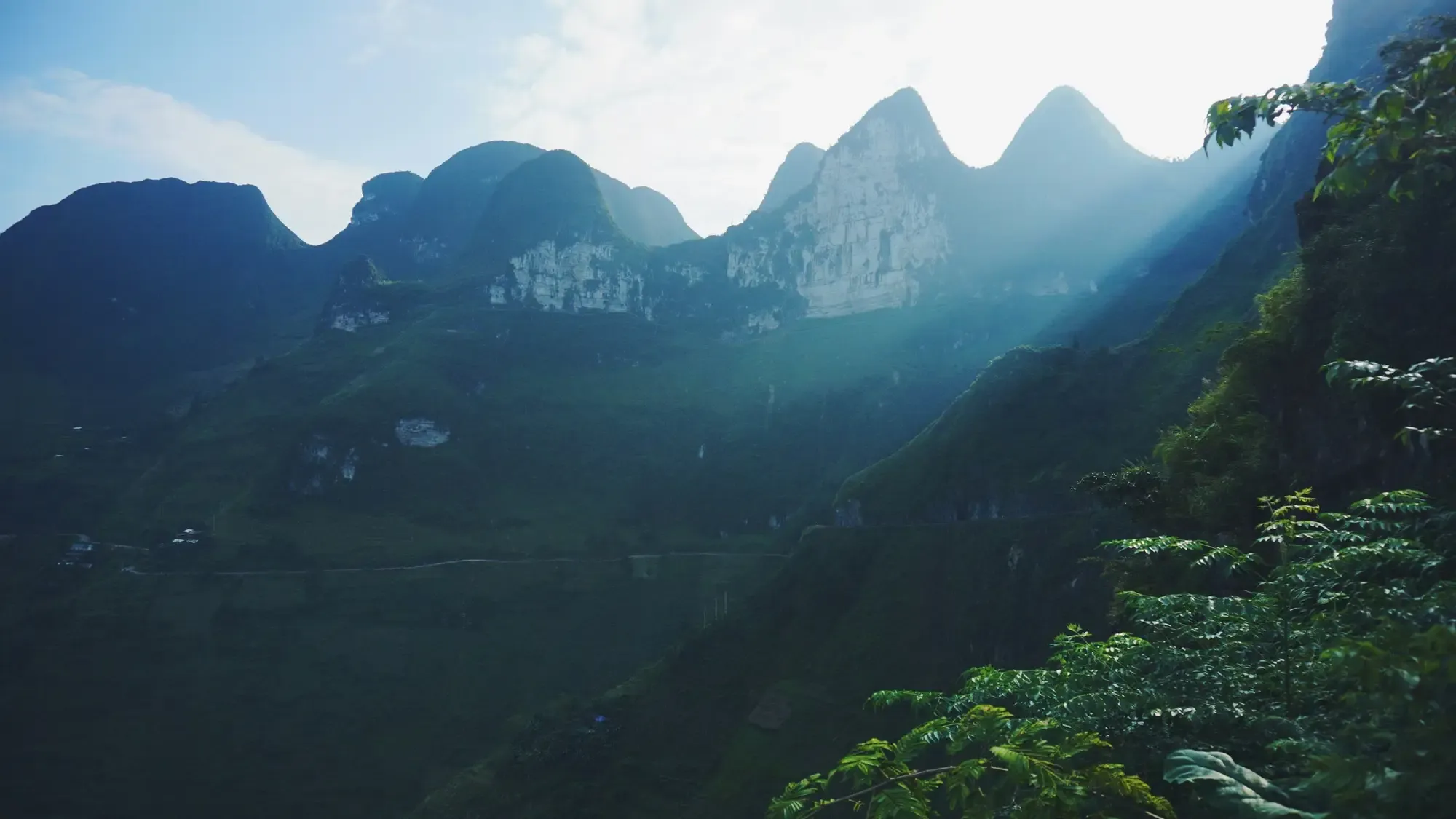
Carved into sheer limestone walls eight hundred metres above the Nho Que River, the Ma Pi Leng pass is the engineering wonder of northern Vietnam.
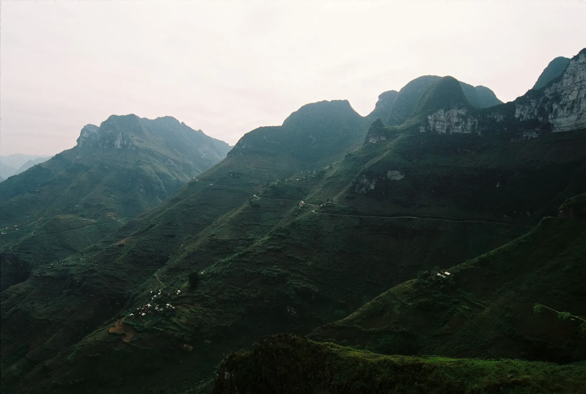
- Asphalt condition: Exceptional. The entire mountain pass road is well-engineered, with wide asphalt lanes, solid concrete parapets, and organized parking turnouts near the Youth Monument and scenic coffee stops.
- The Ta Lang Boat Dock Descent: If you plan to take a boat cruise through the Tu San gorge, you must descend from the pass to the river. The access road down to the Ta Lang dock is one of the steepest paved routes in Vietnam, featuring grades between 15% and 18% with continuous vertical hairpins. If you do not possess advanced mountain riding experience, do not ride down this spur with a passenger. Park your motorbike at the top junction and hire a local village transport driver who navigates this descent daily.
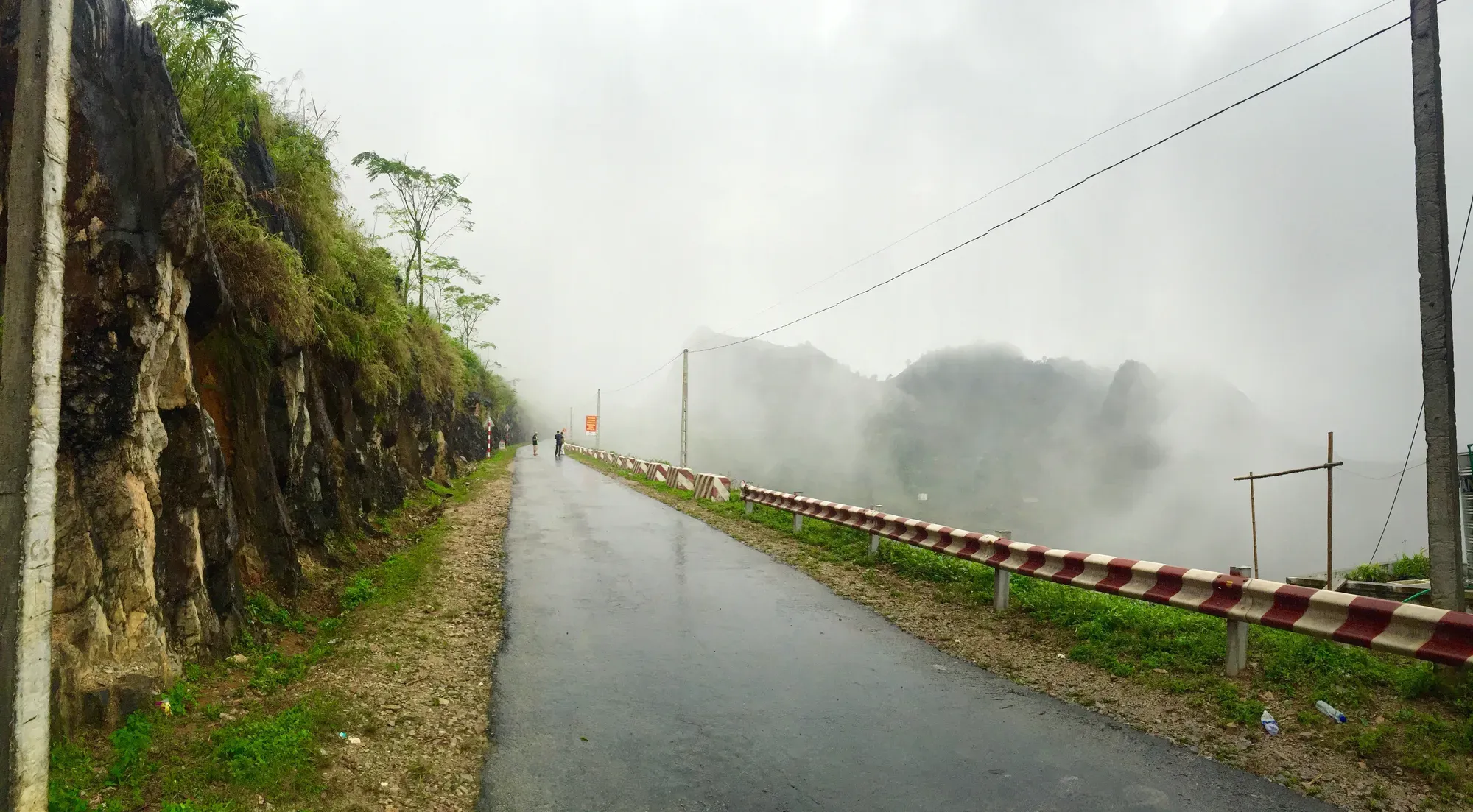
- Hazards and tips: Wind gusts along the exposed pass ridges can be powerful enough to push a lightweight scooter sideways. Early morning fog can reduce visibility to ten metres. Drive slowly with headlights on low beam, and always yield right-of-way to ascending commercial vehicles.
4. The Rugged Backroads: Meo Vac to Mau Due and Du Gia (DT176 & DT182)
If you follow the popular four-day loop itinerary, you will travel south from Meo Vac through Mau Due to the idyllic valley of Du Gia village. This remote provincial link cuts through Sung Mang commune, home to the famous M-shaped pass whose double switchbacks carve a dramatic geometric signature into the limestone hills.
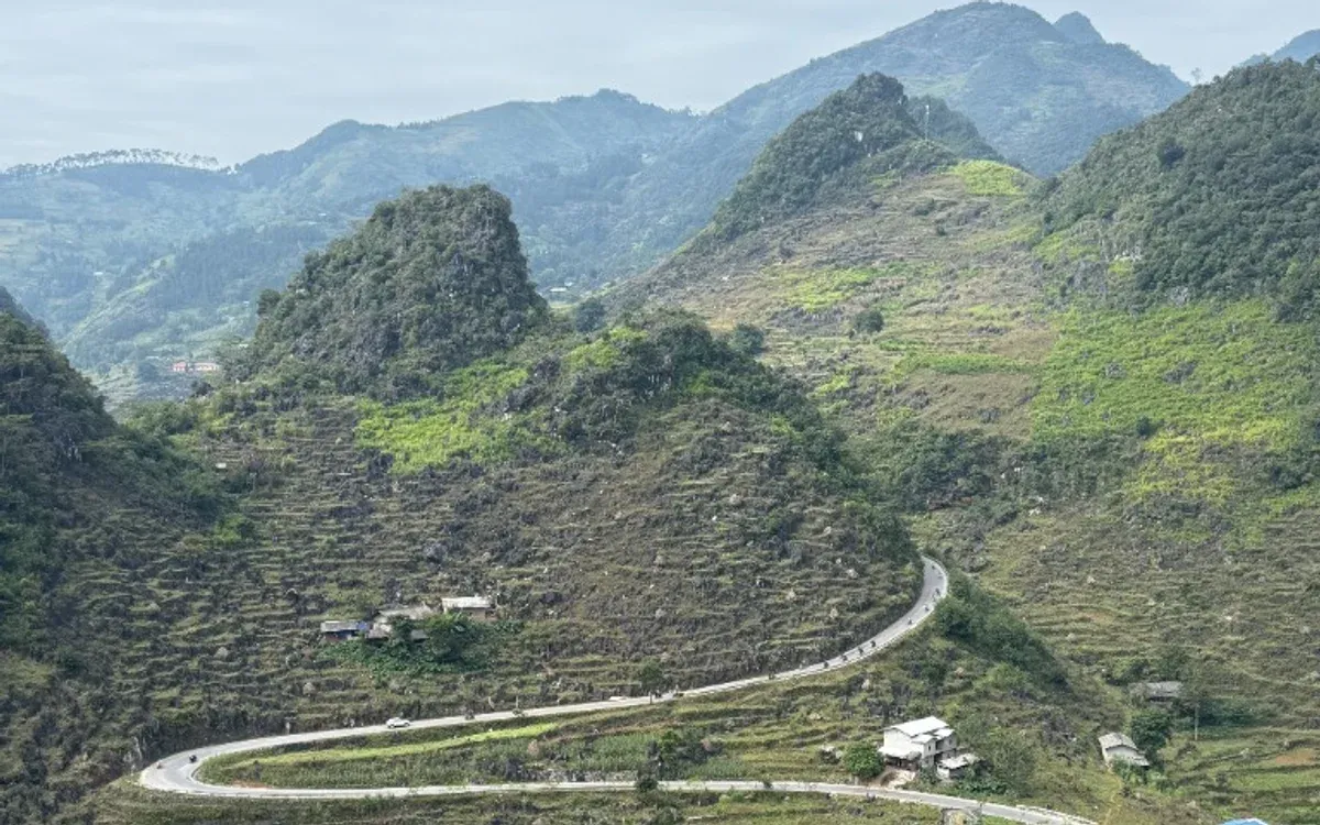
- Asphalt condition: Mixed. Approximately 60% of the route has been widened and paved with fresh asphalt. However, the remaining 40%, particularly the stretches traversing Lung Phin and Ngam La communes, is undergoing periodic culvert reconstruction and roadbed stabilization.
- Dry season realities: Loose gravel (da dam), patches of compacted dirt, and scattered potholes create tricky handling. Front tires can wash out easily if brakes are grabbed abruptly on gravel bends.
- Rainy season realities (June to August): Unpaved sections turn into slippery red mud. Mountain water runoff can wash silt across concrete low-water crossings.
- Riding advice: Drop your speed to second or third gear, keep both feet ready for balance on gravel sections, and maintain a loose, relaxed grip on the handlebars. Automatic street scooters with small wheels and low ground clearance struggle here; semi-automatic or manual motorcycles are vastly superior.
5. Western Approaches: Road to Hoang Su Phi (Provincial Road 177)
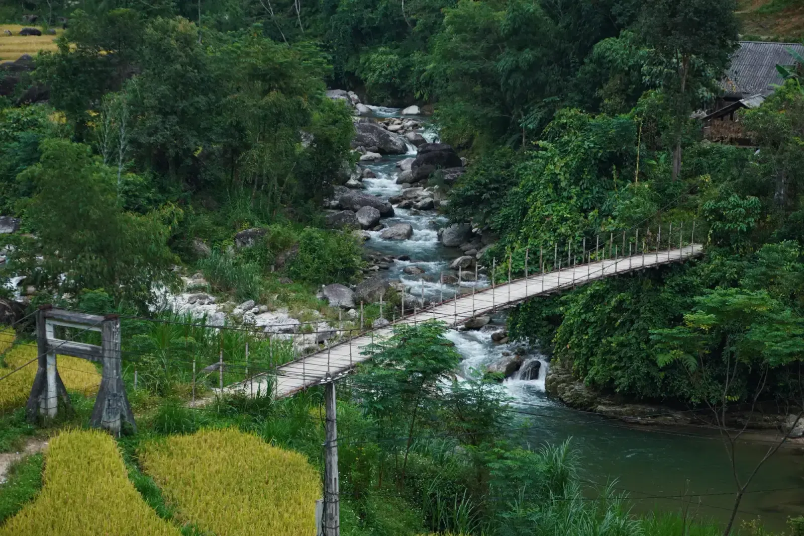
For travellers heading west from National Road 2 toward the dramatic rice terraces of Hoang Su Phi, Provincial Road 177 has seen monumental progress.
- Asphalt condition: The comprehensive multi-year modernization project has completed its primary civil engineering phases in 2025 and 2026. Dangerous blind curves have been blasted wider, concrete retaining walls have stabilized sheer cliffs, and modern concrete bridges have replaced old river fords.
- Hazards and tips: Unlike the solid limestone karst of Dong Van, Hoang Su Phi is composed of soft clay soil. During intense summer monsoon downpours, localized mudslides and hillside slumps can still occur. Always check with your local homestay hosts about morning road status before setting off in July or August.
Crucial 2026 Mountain Driving Rules
Regardless of how smooth the asphalt appears, northern mountain passes tolerate zero carelessness. Protect your journey by adhering to these non-negotiable safety principles:
1. Master Engine Braking on Steep Descents
- The golden rule: Descend mountain passes in the exact same gear you would use to climb them. On manual or semi-automatic bikes, shift into first or second gear and release the throttle. The compression of the engine will naturally restrain your speed.
- Avoid brake fade: If you rely solely on hand and foot brakes while descending a ten-kilometre pass, your brake pads will overheat, boil the hydraulic fluid, and fail completely within minutes. Brake failure is the primary cause of severe motorcycle crashes in Ha Giang.
- The automatic scooter trap: Automatic scooters lack effective engine braking and feature small tires that lose traction easily on wet limestone. Unless you are an expert rider, avoid renting automatic scooters for the loop. Read our detailed guide on road safety.
2. The Strict Daylight Rule: Off the Road by 5:00 PM
Mountain roads have zero streetlights, and dusk falls abruptly behind high peaks by 5:15 PM in autumn and winter. Riding through freezing mountain fog after dark with zero ambient light and wandering cattle is extraordinarily hazardous. Plan short daily hops (sixty to eighty kilometres) and reach your evening homestay by 4:30 PM.
3. Choosing the Right Vehicle for Your Group
If you are confident on manual two-wheelers and relish the raw open air, a 125cc to 150cc semi-automatic or dual-sport motorcycle remains a fantastic way to experience the elements.
However, if you are travelling with children, seniors, or friends who are not licensed, experienced motorcyclists, please do not risk learning on these cliffs. Modern private SUVs and passenger vans provide supreme comfort, heating, and panoramic views while keeping you completely safe from rain and freezing pass winds. Explore your options in Ha Giang by car and learn how to Hire a driver with decades of local mountain experience.
Ha Giang’s roads in 2026 offer a golden balance: smooth enough to travel comfortably, yet wild and magnificent enough to take your breath away. Ride with patience, respect the terrain, and enjoy every single kilometer of the journey.


